
Click here to view route map or download GPX file
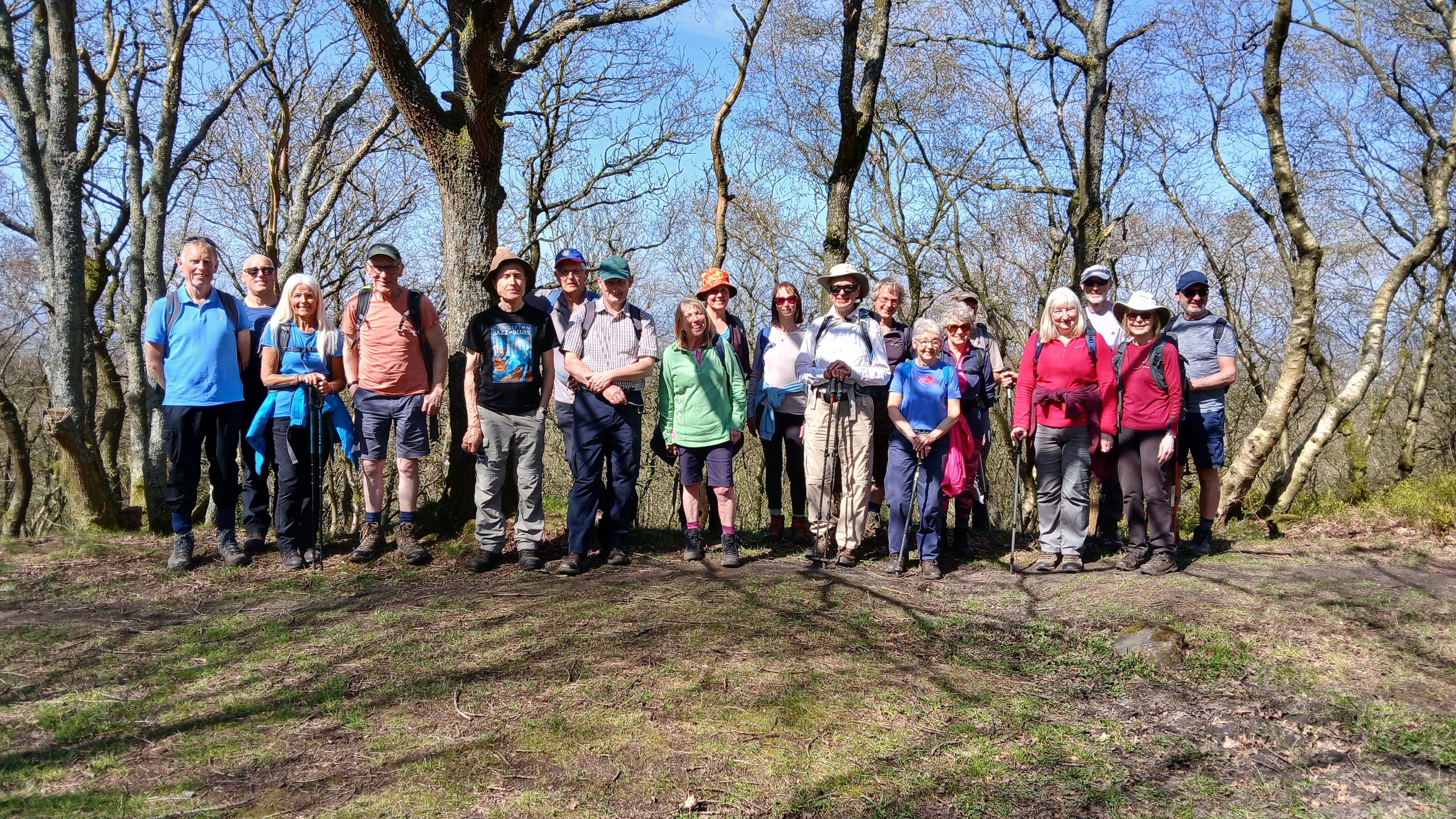
20 walkers gathered for this medium 7 mile local walk, starting at 10:00am from the large free car park at Biddulph Grange Country Park - which was nearly full! The leader was slightly apprehensive to see what appeared to be a turnout of nearer 40 walkers, but it turned out that half of them were for another group and set off just before us.
The weather was glorious, warm and sunny with hardly a cloud in the sky.

We set off northwards and into the woods to the north of Fold Lane, then crossed a bridge over a stream, one of the tributaries of the Biddulph Brook, and followed it upstream, passing several waterfalls.

Doubling back, heading downhill and crossing the A527, we reached the Biddulph Valley Way and followed it northwards. Ahead of us were two guys on bikes with a measuring tape and a spirit level, who stopped at intervals to measure the width of the path. We wondered what they were doing. We caught up with them at the northern end of Whitemore Nature Reserve, where we found out that they were volunteers for Walk Wheel Cycle Trust, the charity formerly known as Sustrans, and were doing an accessibility survey.
The Biddulph Valley Way was originally the Biddulph Valley Line, a double tracked railway line that ran from Stoke-on-Trent to Brunswick Wharf in Congleton. Construction began in 1858, and it opened in 1860, mainly carrying coal from the Potteries to Congleton, and sand from Congleton back to the Potteries for industrial use. The sand came from the quarry which is now Astbury Mere. There was also a small amount of passenger traffic. The line's decline began in 1927, with the closure of the passenger stations along the line due to low usage. Closure came in stages between 1963 and 1988. The section we walked on today closed in 1969.
The Way is carried over the A527 by a bridge. We left it at this point, crossed the A527 again and took a steep path up through farmland onto Congleton Edge. Along the way we passed a large house (reputedly owned by the singer Russell Watson) where, in the small paddock alongside it, on previous occasions we have seen a rhea (like an ostrich but smaller) and as many as four alpacas. Today we saw the rhea, but the alpacas were nowhere to be seen.
A historical photo of the alpacas from February 2023 is included here for interest:

We stopped for a drink and to admire the view, before continuing upward to the crest of the ridge.
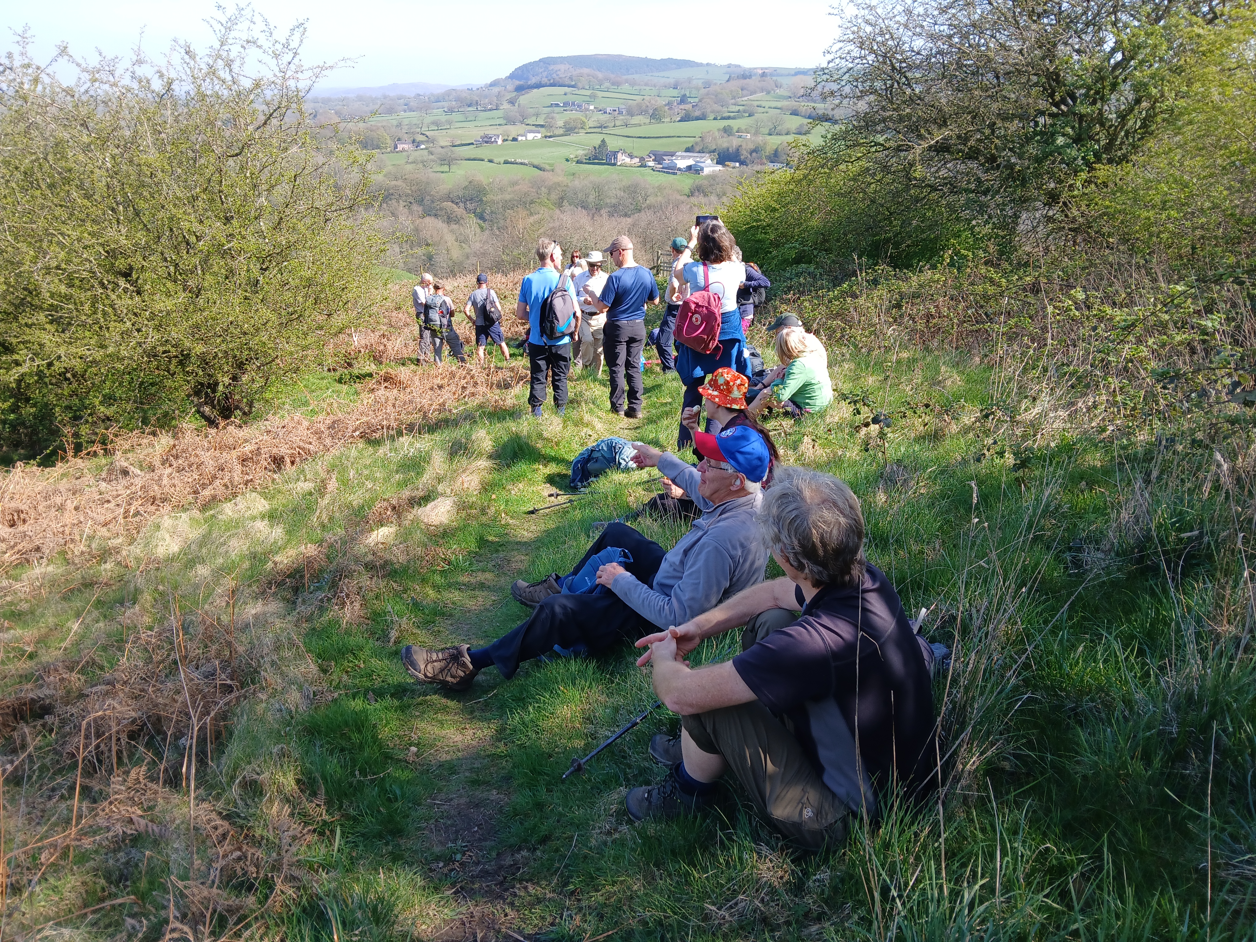
Congleton Edge is believed to have been created by a downward slippage of the western portion of the Millstone Grit of the Pennines at the line of the Red Rock Fault, part of the Wem–Bridgemere–Red Rock Fault System, a complex zone of intersecting faults which defines the south-eastern boundary of the Cheshire Basin. This left the narrow rocky crest we see today.
The microclimate along the crest of the ridge tends to be wet. It does not quite meet the criteria that define a temperate rainforest, but it does have some of the characteristics of this biome, such as a preponderance of mosses and ferns. Historical photos from 2021 and 2024 follow:
August 2021:

November 2024:

Just before Nick i' th' Hill, we passed the precipitous drop-off known as Devils' Drop. (This picture is from December 2020).

South of Nick i' th' Hill, close to the highest point of the ridge, we found a good lunch stop with a wall to sit on. A couple of group photos were taken here.
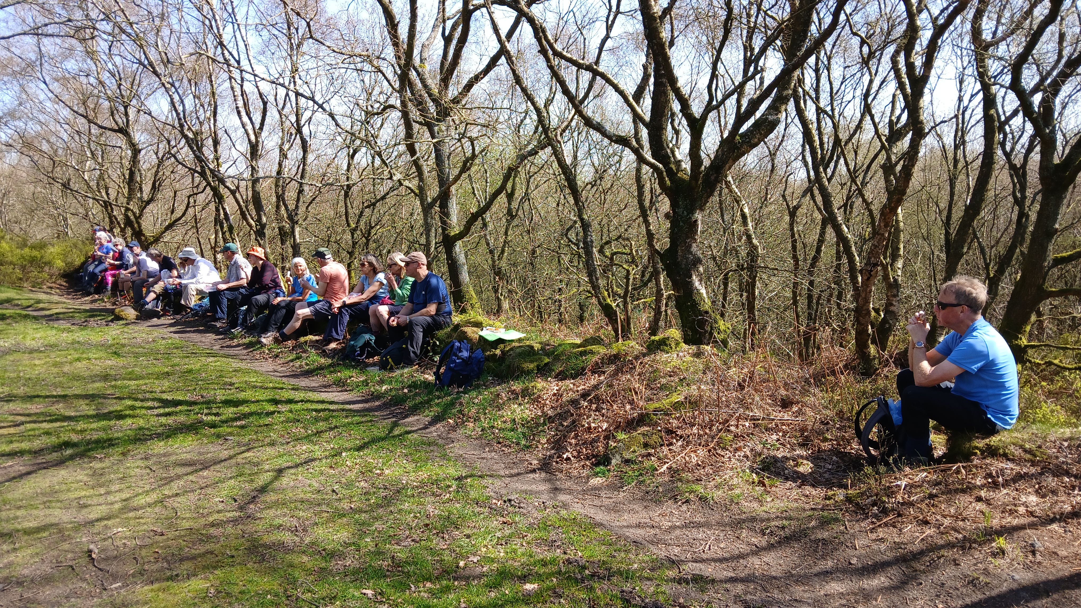
There was a short section of road walking, from Pot Bank to Cheshire's Close. We then turned left and wandered down the slope towards Biddulph. Turning left at the thatched cottage, we reached the Biddulph Valley Way again, and followed it to Marsh Green. Here we turned right and followed a path which crossed a bridge and eventually brought us out opposite St. Lawrence's Church.

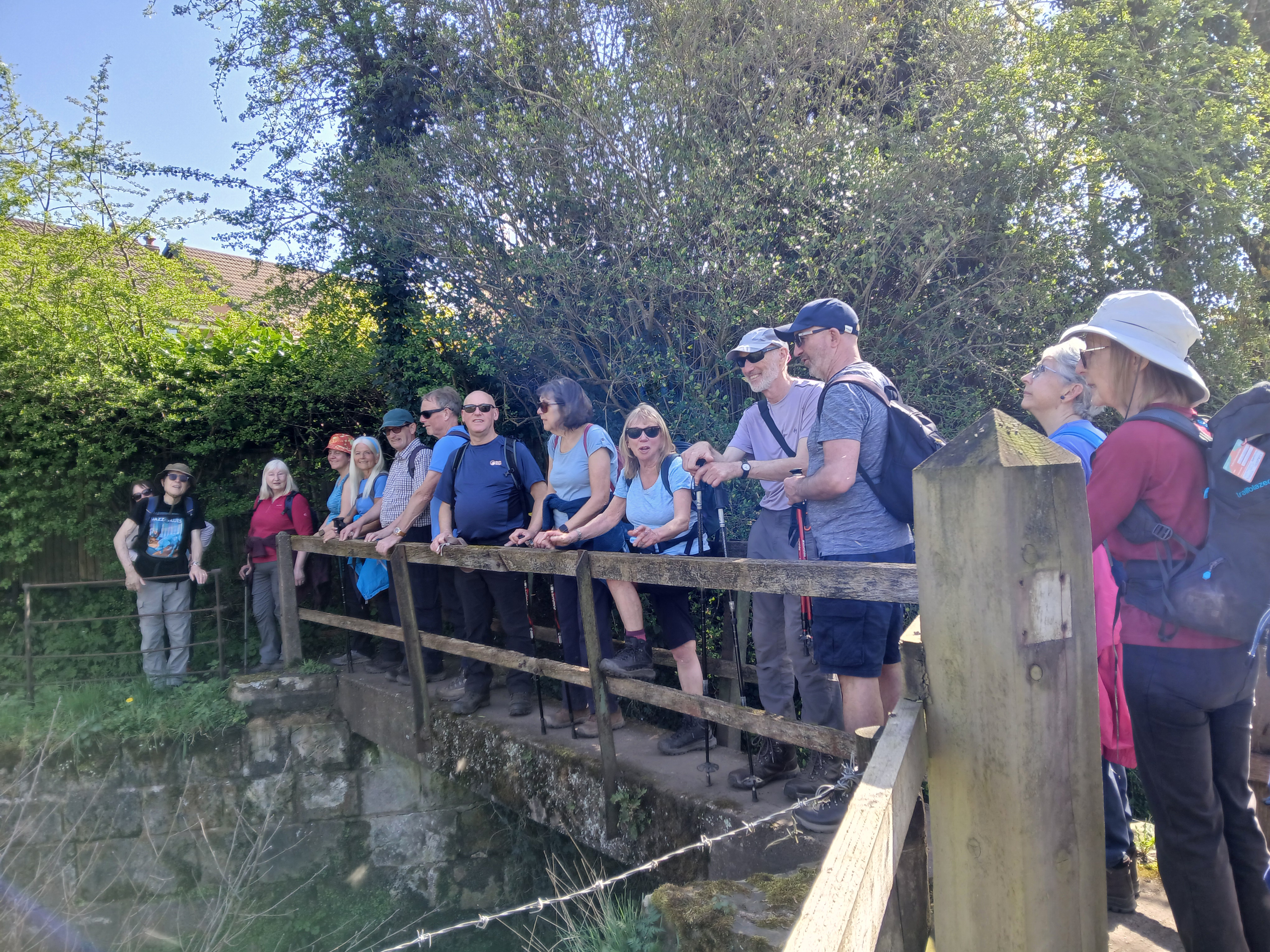
Crossing the A527 for the third and final time, we completed the walk by way of the Bateman Walk and the cemetery.
All agreed that it had been an enjoyable walk and a fine day.
Mike Field